
Yosemite National Park: Guide & Itineraries
Diliff, Wikimedia Commons (CC BY-SA 3.0)
A glacially carved granite valley in the Sierra Nevada, home to some of North America's tallest waterfalls, sheer rock faces that define modern climbing, and one of the largest groves of ancient giant sequoias.
Yosemite Valley is a 7-mile-long glacier-carved canyon in the central Sierra Nevada, flanked by vertical granite walls rising up to 3,000 feet. The park encompasses 1,169 square miles, but most visitors concentrate in the Valley — which holds the major waterfalls, the main viewpoints, and iconic formations like El Capitan and Half Dome.
A timed-entry reservation is required to drive into Yosemite Valley between April and October. Reservations open at recreation.gov and fill weeks in advance. Without one, vehicles are turned away at the gate. Once inside, the free Valley Shuttle connects all major trailheads — parking within the valley is limited and the shuttle is the practical way to move around.
Two itinerary options share the same Day 1 and Day 2. The 2-Day Plan covers the valley floor and the Mist Trail. The 3-Day Plan adds Glacier Point and Mariposa Grove — Yosemite's giant sequoia forest south of the valley.
Day 1: Yosemite Valley Floor
Start: Tunnel View (west entrance). End: Valley Visitor Center. Walking: 3–5 miles. Transport: Free Valley Shuttle after the initial drive in.
| # | Stop | Mode | Distance / Time | Notes |
|---|---|---|---|---|
| 1 | Tunnel View | Drive (park at pullout) | — | The full valley opens: El Capitan left, Half Dome center, Bridalveil Fall right |
| 2 | Bridalveil Fall | Walk from parking area | 0.5 mi / 20 min | 635-foot fall; trail mist-soaked in spring, often a rainbow midday |
| 3 | El Capitan Meadow | Drive | 1 mi / 5 min | Best ground-level view of the 3,000 ft face; climbers visible as specks with binoculars |
| 4 | Yosemite Falls | Shuttle + walk | 1 mi round-trip to base | North America's tallest waterfall (2,425 ft total); lower falls trail is paved and accessible |
| 5 | Valley Visitor Center + Village | Shuttle | — | Exhibits, permits desk, Ansel Adams Gallery, dining at Yosemite Valley Lodge |
Map tiles © OpenStreetMap contributors
Morning (7:00am – 12:00pm)
- 7:00am — Tunnel View: Pull off immediately after exiting the Wawona Tunnel. This is one of the most photographed landscapes in North America — El Capitan (3,000 feet of vertical granite) on the left, Half Dome in the center, Bridalveil Fall draped on the right. Arrive before 9am for good light and manageable parking.
- 7:30am — Bridalveil Fall: A 0.5-mile paved walk from the dedicated parking area (not the Tunnel View pullout). The trail ends at a viewpoint within the spray zone — in spring, the mist is heavy enough to soak your clothing. A rainbow forms at the base most mornings when the sun angle is right.
- 8:30am — El Capitan Meadow: Drive east along Southside Drive and pull off at El Capitan Meadow for the best ground-level perspective on the granite wall. With binoculars, active climbers on big-wall routes are visible as small specks at various heights. On any given day, multiple teams are on the wall simultaneously.
- 10:00am — Yosemite Falls: Park at the Valley Visitor Center and take the shuttle (stop 7) to the Yosemite Falls trailhead. The lower falls trail (1 mile round-trip, paved) ends at the base of the 320-foot lower section. In late spring, the volume is thunderous; by August, the falls often run dry.

Afternoon (12:00pm – 6:00pm)
- 12:00pm — Valley Visitor Center: Lunch at Yosemite Valley Lodge or the Village Store deli. The visitor center exhibits cover the geology, Indigenous history, and ecology of the valley — worth 30 minutes for context.
- 2:00pm — Mirror Lake (optional): Shuttle to stop 17, then a 1.5-mile walk to the lake. The reflection of Half Dome in the water is best in spring when the lake is still full; by summer it becomes a meadow. A 5-mile loop encircles the lake through the forest.
- 4:00pm — Valley Loop Trail: The paved multi-use trail along the valley floor connects most shuttle stops and offers continuously changing angles on El Capitan and Half Dome in afternoon light. Good for a relaxed end to the day.
- Evening: Sunset is best from Valley View (pullout on Northside Drive near the Pohono Bridge) or from the meadow directly below El Capitan.
Day 2: Mist Trail + Glacier Point
Start: Happy Isles trailhead (shuttle stop 16). Mist Trail end: Nevada Fall. Afternoon: Glacier Point (drive via Glacier Point Road, open May–November). Hiking: 5.4 miles round-trip to Nevada Fall, 2,000 ft gain.
| # | From → To | Mode | Distance / Time | Notes |
|---|---|---|---|---|
| 1 | Happy Isles → Vernal Fall Footbridge | Hike (steady ascent) | 0.8 mi / 30 min | Paved at first; good view of Vernal Fall from the bridge |
| 2 | Footbridge → Vernal Fall top | Hike (very steep, wet) | 0.7 mi / 45 min | Giant granite steps beside the falls; trail is soaking wet in spring — waterproof layers essential |
| 3 | Vernal Fall → Nevada Fall | Hike (moderate) | 1.2 mi / 50 min | Nevada Fall (594 ft) is the recommended turnaround; Liberty Cap viewpoint nearby |
| 4 | Nevada Fall → Happy Isles (descent) | Hike (John Muir Trail variation) | 2.7 mi / 1.5 hrs | Return via the John Muir Trail for a different descent route through forest |
| 5 | Valley → Glacier Point (afternoon) | Drive (Glacier Point Road) | 16 mi / 40 min | Road open May–November; 3,200 ft above valley floor with panoramic views |
Map tiles © OpenStreetMap contributors
Morning (7:00am – 1:00pm)
- 7:00am — Happy Isles trailhead: Take the early shuttle (stop 16) — no private vehicles are permitted in the Happy Isles area. Start early to beat both heat and crowds on the steep sections above the falls. Bring at least 2 liters of water per person.
- 7:30am — Mist Trail: The trail climbs alongside Vernal Fall (317 feet) on a series of granite steps polished smooth by the spray. The trail is genuinely soaking wet from spring through early summer — waterproof shoes and a rain jacket are practical, not optional. Above Vernal Fall, the trail passes through open granite terrain with views back down the valley.
- 9:00am — Nevada Fall: At 5.4 miles round-trip from the trailhead (2,000 feet of gain), Nevada Fall (594 feet) is the recommended turnaround for most day hikers. The Liberty Cap granite dome rises directly beside the fall. Take a long rest here before the descent.
- 10:30am — Descent: Return via the John Muir Trail for a longer but less steep route back through mixed conifer forest — a better option for knees than descending the Mist Trail's wet steps.

Afternoon (1:00pm – 6:00pm)
- 1:00pm — Valley rest stop: Return to the valley for food and water before driving up to Glacier Point. The shuttle back to the Village takes 15 minutes.
- 2:30pm — Glacier Point: Drive the 16-mile Glacier Point Road (branches off Highway 41 south of the valley; open May–November). The viewpoint sits 3,200 feet above the valley floor and directly across from Half Dome — the full panorama includes Nevada and Vernal Falls, the Merced River, and the High Sierra peaks. Sunset from Glacier Point turns Half Dome's granite face deep orange.
- Optional from Glacier Point Road: Sentinel Dome (2.2 miles round-trip from a trailhead 1 mile before Glacier Point) and Taft Point (2.7 miles round-trip) are both excellent short hikes with vertiginous cliff-edge viewpoints. Do one or the other — they share the same trailhead parking.

Day 3: Glacier Point + Mariposa Grove (3-Day Plan)
Start: Yosemite Village. End: Mariposa Grove (south entrance area). Driving: ~60 miles round-trip from valley. Walking: 2–4 miles in Mariposa Grove.
| # | From → To | Mode | Distance / Time | Notes |
|---|---|---|---|---|
| 1 | Valley → Glacier Point Road turnoff | Drive (Hwy 41 south) | 9 mi / 20 min | Turn onto Glacier Point Road; watch for deer on the road |
| 2 | Glacier Point Road → Glacier Point | Drive | 16 mi / 40 min | Arrive early for morning light on Half Dome; parking fills by 9am in summer |
| 3 | Glacier Point → Wawona | Drive (Hwy 41 south) | 27 mi / 45 min | Historic Wawona Hotel for lunch; Pioneer Yosemite History Center nearby |
| 4 | Wawona → Mariposa Grove shuttle stop | Free shuttle | 2 mi / 10 min | Private vehicles not allowed in the grove; shuttle departs from Wawona |
| 5 | Mariposa Grove walk | Walk (gradual) | 2–6 mi depending on route | Grizzly Giant, California Tunnel Tree, Mariposa Grove Museum |
Map tiles © OpenStreetMap contributors
Morning (8:00am – 12:00pm)
- 8:00am — Glacier Point: Morning light hits Half Dome's north face first; the full vista from the 3,200-foot viewpoint includes Nevada and Vernal Falls directly below, the Merced Canyon, and the High Sierra crest. On a clear morning, the depth of the valley is more legible from here than from any point on the valley floor. The viewpoint is about a 5-minute walk from the parking area.
- 9:30am — Optional hike: From the Sentinel Dome / Taft Point trailhead (1 mile back down the road from Glacier Point), the 2.2-mile Sentinel Dome hike leads to an exposed granite summit with 360-degree views. Taft Point (2.7 miles) ends at an unfenced cliff edge with a straight 3,000-foot drop to the valley — one of the most exposed viewpoints in the park.
Afternoon (12:00pm – 5:00pm)
- 12:00pm — Wawona: Drive 27 miles south on Highway 41 to the Wawona valley. The historic Wawona Hotel (1879) serves lunch and has a pleasant porch overlooking the meadow. The Pioneer Yosemite History Center, a few hundred yards away, preserves original covered bridge and log structures.
- 1:30pm — Mariposa Grove: Take the free shuttle from Wawona (private vehicles are not allowed in the grove). Mariposa Grove contains over 500 mature giant sequoias — the park's largest collection. The Grizzly Giant, estimated at 2,700 years old with a base circumference of 96 feet, is the oldest tree in the grove. The California Tunnel Tree, where a tunnel was carved through the base in 1895, is nearby. A 2-mile route reaches both; longer loops extend to the upper grove.
- Timing: Allow 2–3 hours in the grove. The last shuttle back to Wawona typically leaves by 5pm — confirm current times at the trailhead kiosk.

Tioga Road option: If the Tioga Road is open (typically late May–November), an alternative Day 3 is to drive east over the Sierra crest to Tuolumne Meadows — high-alpine granite domes, subalpine meadows, and dramatically fewer people than the valley. The 39-mile drive from the valley takes about 90 minutes. Key stops: Olmsted Point (Half Dome from the east) and Tenaya Lake.
Key Highlights
- Tunnel View — The full valley panorama at the exit of the Wawona Tunnel. Best light before 9am.
- Mist Trail — The valley's essential hike; Vernal Fall and Nevada Fall in one route. Wet in spring — bring waterproofs.
- Glacier Point — 3,200 feet above the valley with a direct view of Half Dome. Accessible by car (May–Nov) or the strenuous Four Mile Trail.
- Mariposa Grove — Over 500 giant sequoias including the 2,700-year-old Grizzly Giant. Free shuttle from Wawona required.
- El Capitan — The world's most famous big-wall climbing objective; watch from the meadow below with binoculars for active climbers.
- Half Dome cables — The park's most demanding hike (lottery permit required, apply in March). Not for casual day hikers.
Planning Notes
- Timed entry: Required April–October for Yosemite Valley and separately for Mariposa Grove. Book at recreation.gov — sell out weeks in advance.
- Best seasons: Spring (April–May) for peak waterfall flow from snowmelt. Fall (September–October) for thinner crowds and warm days. Summer is crowded but all roads open. Winter offers solitude but Tioga Road and Glacier Point Road close.
- Half Dome permit: Lottery-based; apply in March for the current season. Day-of permits occasionally available — check recreation.gov the day before.
- Lodging: Ahwahnee Hotel, Curry Village, and Yosemite Valley Lodge require advance reservations, often many months ahead. Campground reservations also sell out quickly — book at recreation.gov on the first day reservations open (usually five months prior).
- Shuttle system: Free and extensive within the valley. Using the shuttle eliminates most parking stress. Runs approximately 7am–10pm in summer.
Keep exploring

Grand Canyon National Park: Complete Visitor Guide & Itineraries
277 miles long, up to 18 miles wide, and over a mile deep — the Grand Canyon is one of the most visited natural landmarks in the world and one of the best preserved geological records on Earth. This guide covers rim viewpoints, inner-canyon hikes, 1- to 3-day itineraries, and detailed route planning for first-time visitors.
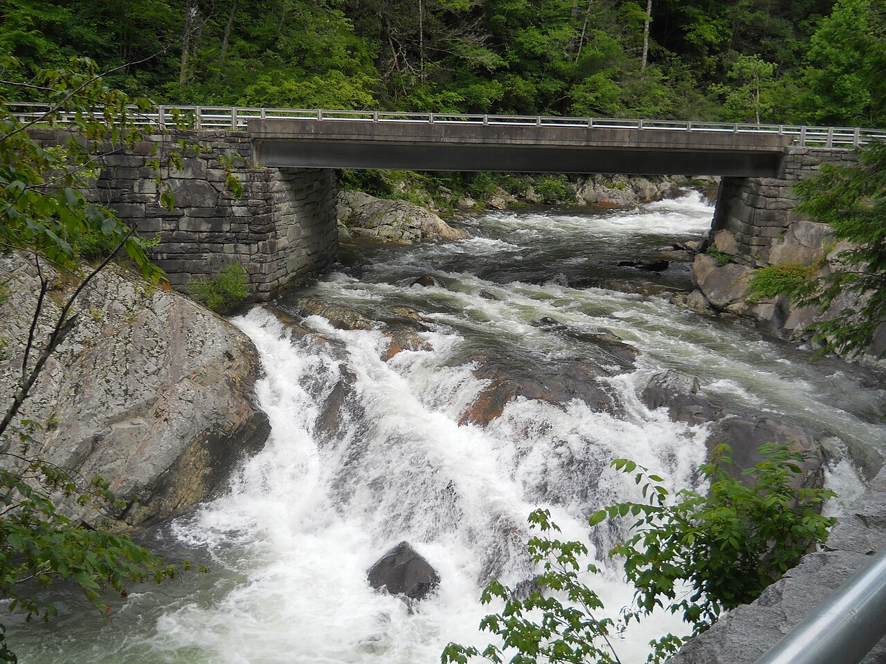
Great Smoky Mountains National Park: Guide & Itineraries
The most visited national park in the United States — and the only major one with no entrance fee — spanning 522,000 acres of ancient Appalachian forest across the Tennessee–North Carolina border.

Yellowstone National Park: Guide & Itineraries
The world's largest geothermal area, a supervolcano caldera, and one of North America's best wildlife corridors — all in one park spanning 3,500 square miles across Wyoming, Montana, and Idaho.